
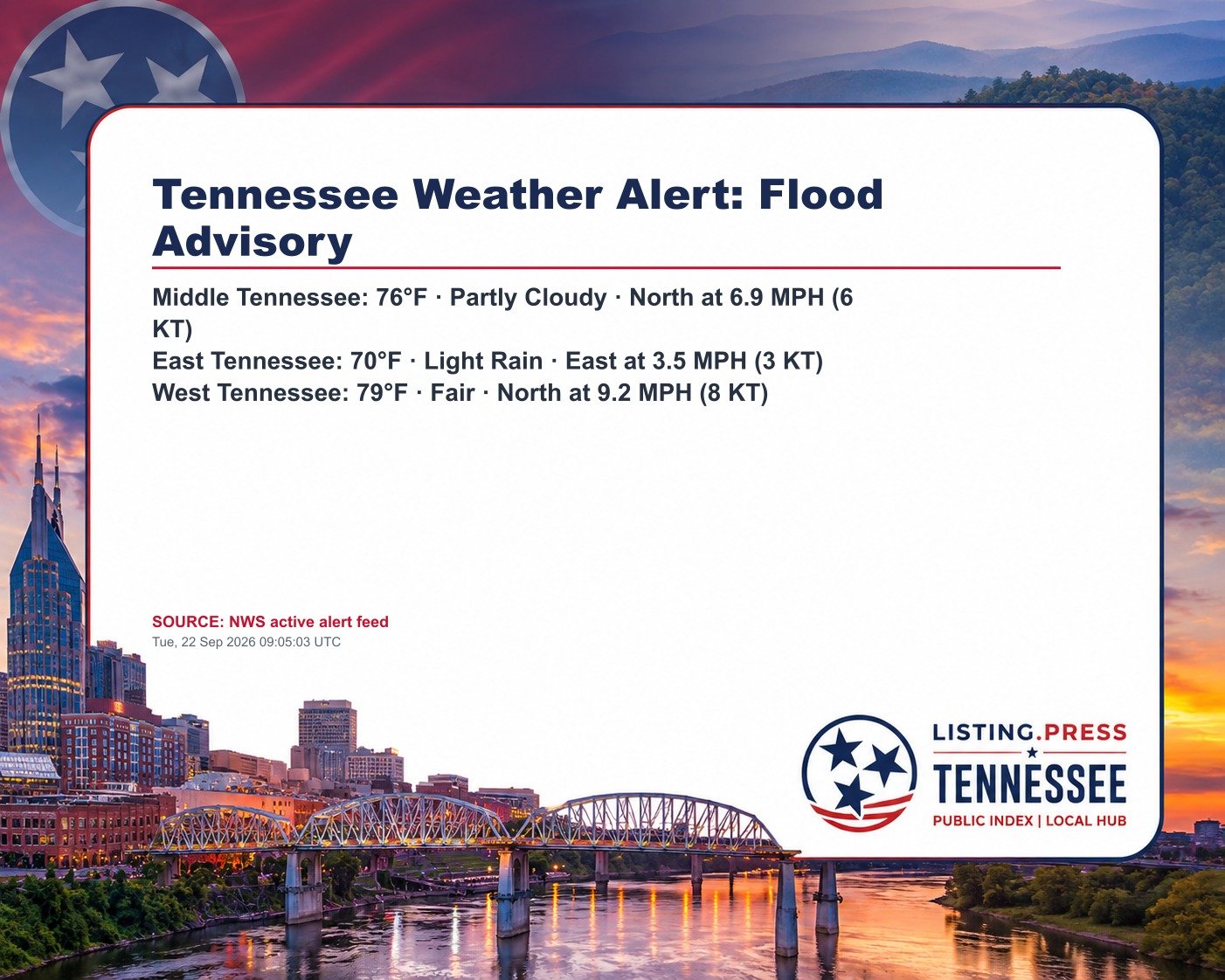
* WHAT…Flooding caused by excessive rainfall is expected. * WHERE…South Central Morgan County in east Tennessee… Northwestern Roane County in east Tennessee… * WHEN…Until 615 AM EDT. * IMPACTS…Minor flooding in low-lying and poor drainage areas. * ADDITIONAL DETAILS… – At 410 AM EDT, Doppler radar indicated heavy rain due to thunderstorms. Minor flooding is ongoing or expected to beg
Source: National Weather Service
Indexed: Tue, 22 Sep 2026 09:05:06 UTC
Not a government entity. Not a broker or agent. Public information index only. Verify independently.