

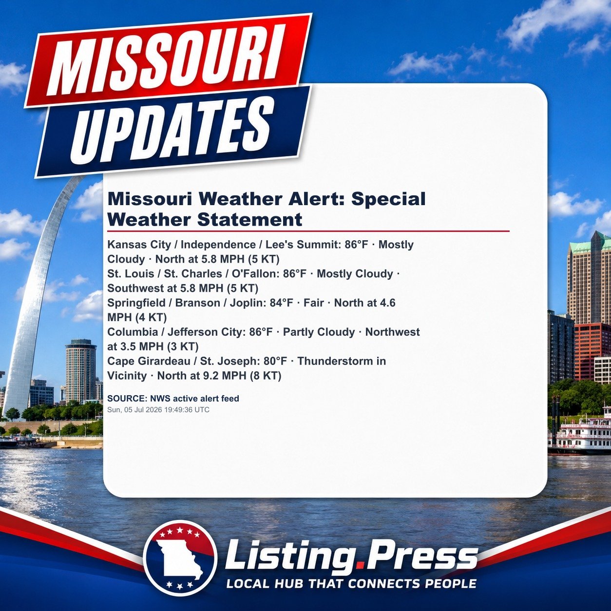
At 232 PM CDT, Doppler radar was tracking strong thunderstorms along a line extending from near Wyatt to near Hunter-Dawson State Historic Site. Movement was east at 10 mph. HAZARD…Wind gusts up to 40 mph and half inch hail. A storm could briefly become severe. SOURCE…Radar indicated. IMPACT…Gusty winds could knock down tree limbs and blow around unsecured objects. Minor hail damage to veget
Source: National Weather Service
Indexed: Sun, 05 Jul 2026 19:49:46 UTC
Not a government entity. Not a broker or agent. Public information index only. Verify independently.