
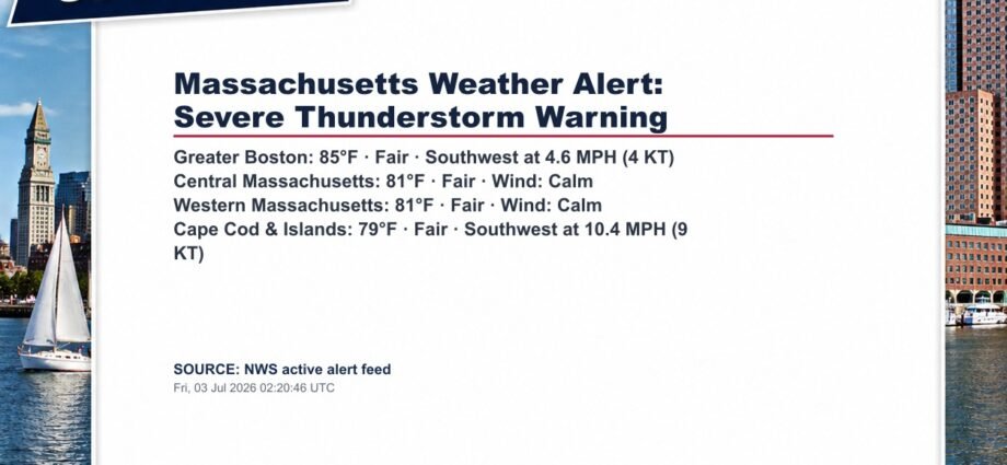

At 1018 PM EDT, severe thunderstorms were located along a line extending from near Middlefield to near Otis to near Blandford to near Hartland, moving east at 40 mph. HAZARD…60 mph wind gusts and penny size hail. SOURCE…Radar indicated. IMPACT…Expect damage to roofs, siding, and trees. Locations impacted include… Pittsfield, Lee, Lenox, Becket, Otis, Sandisfield, East Windsor, Dalton, Hins
Source: National Weather Service
Indexed: Fri, 03 Jul 2026 02:21:04 UTC
Not a government entity. Not a broker or agent. Public information index only. Verify independently.